After decades of service…
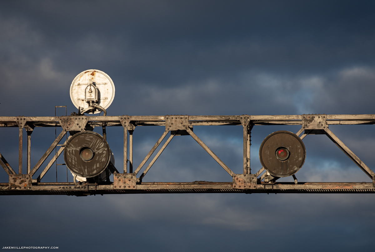
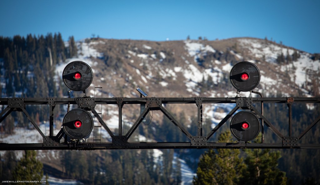
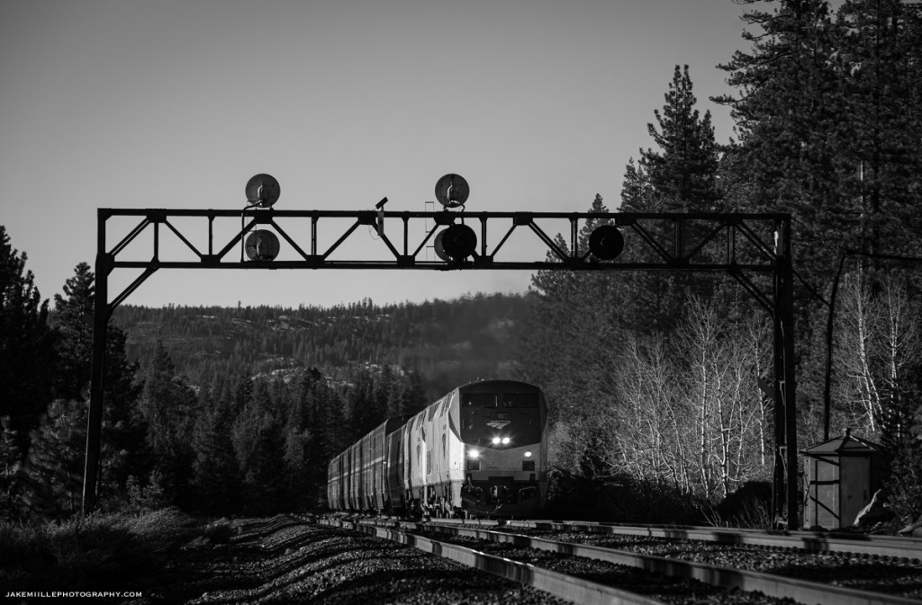
The searchlight signals at Norden were special to many railroaders, railroad photographers and historians. The US&S Searchlight Signals withstood the test of time, enduring decades of brutal winters atop the infamous Donner Pass Route.
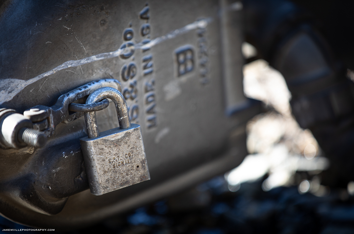
While an exact installation date is not known at this time, railroad historians estimate the searchlight signals were installed in the mid-20th century. The bridge support they stood upon is believed to have been installed in the 1920’s with an interlocking machine, followed by semaphores and eventually replaced by searchlights.
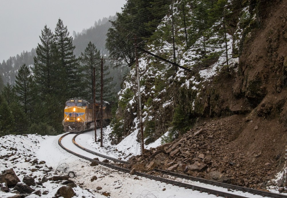
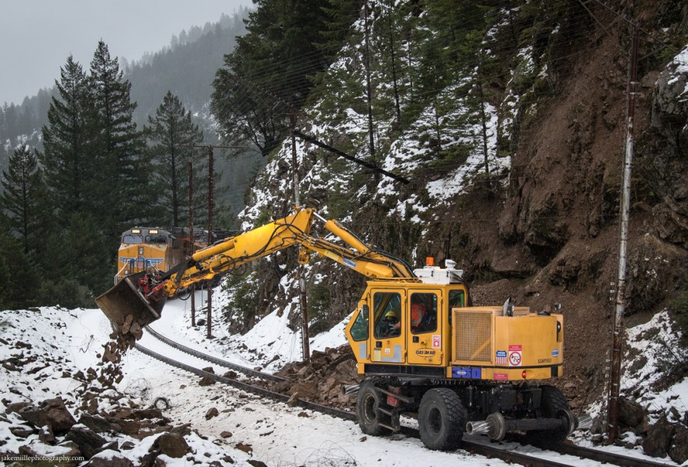
At nearly 7,000′ in elevation, Norden is effectively the “top of the hill” for the railroad. The true summit is located in Tunnel 41 (“The Big Hole”), which passes under Mount Judah (8,243′). Being that Norden is on the western side of the summit, it is subjected to heavy snowfall. With an annual average snowfall of 140″, keeping the railroad open is difficult. The Union Pacific Railroad uses a variety of methods to keep the tracks clear of snow and trains moving.
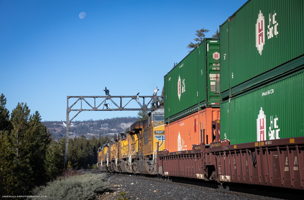
Union Pacific’s “snow fighters” work throughout the winter months, removing snow from the right-of-way. The snow fighters consist of snow cats, flangers, spreaders and the famous rotary snow plows. While these are effective in battling snow, the railroad also uses snow sheds. At Norden, a snow shed protects the crossovers (definition: a crossover is a pair of switches that connects two parallel rail tracks, allowing a train on one track to cross over to the other). Crossovers are especially vulnerable to snow and ice build up since the switches actuate. Any build up of snow between the switch can render it out-of-service. Searchlight signals guarded both ends of the Norden snow shed.
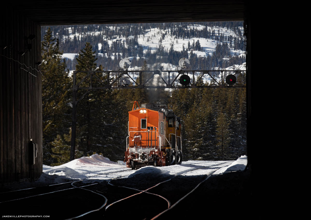


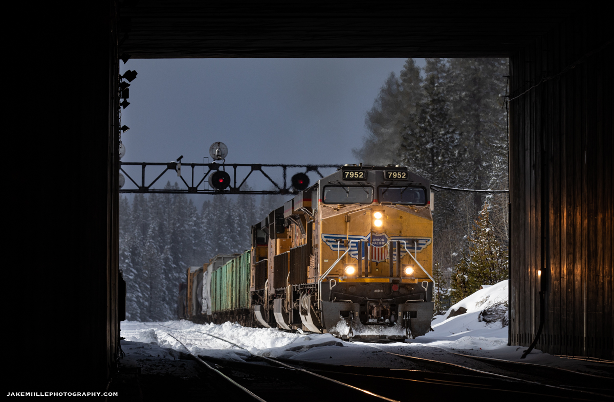

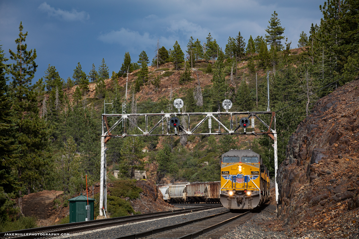
With only single track through “The Big Hole” (1.3 miles east), these signals and crossovers were often utilized by the dispatcher to move trains and keep the railroad running efficiently. The original mainline between Norden and Eder (also known as track 1), was retired in the mid 1990’s due to dwindling traffic levels. This left only a single track (through the Big Hole) connecting Eder and the western slope. Because of this, Norden was often a great place to watch rail traffic and train meets.
A Particular Interest
Over the last several years, I had taken a particular interest in photographing the Norden Searchlights. Knowing that replacement plans were scheduled, it was just a matter of time before the classic signals would be replaced.
Searchlight signals are being replaced nationwide due to legislation passed by Congress. Many searchlight signals have already fallen across Northern California. Because of this, documenting searchlight signals has become one of my special projects.
Fortunately, the Norden searchlights provided many unique photo opportunities. At over 7,000′ in elevation, capturing the signals in all four unique seasons was a challenge. Fall colors, followed by snow and a springtime thaw were quickly replaced by smokey skies during the California summers.
In addition to the Norden signals, Union Pacific replaced many of Southern Pacific’s target tri-lights and signal bridges. The target tri-lights have a similar shape to searchlights, but sport three individual signal lights. The signals at Cisco and Troy were replaced prior to the searchlights at Norden. Fortunately, the signal bridge at Truckee still stands… for now.

Replacement
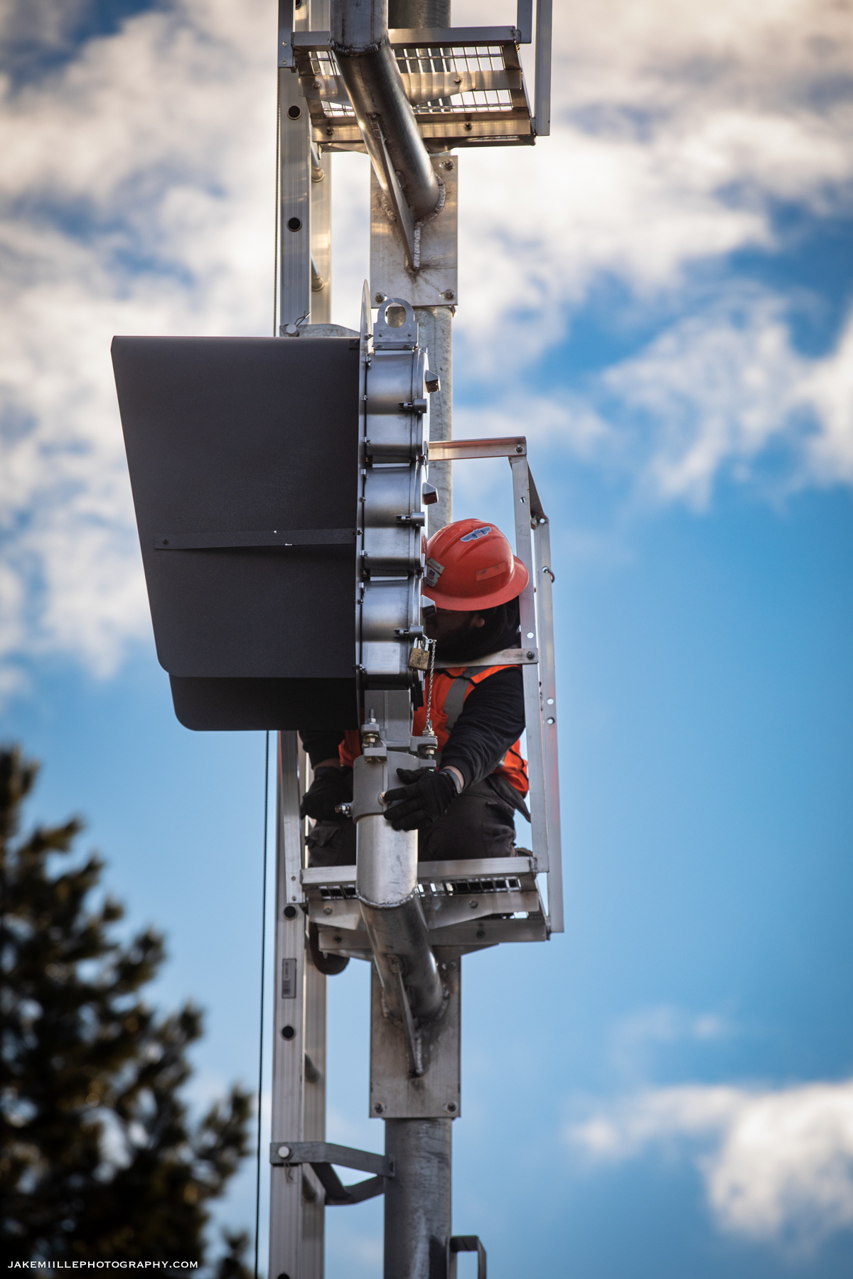
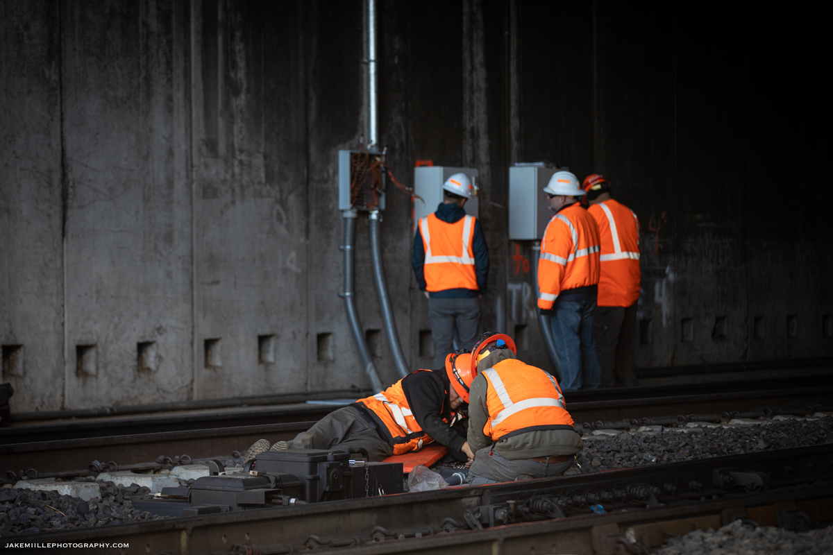
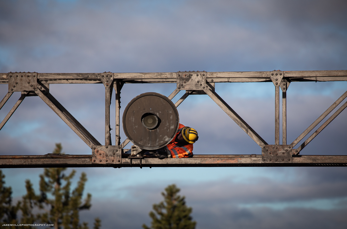
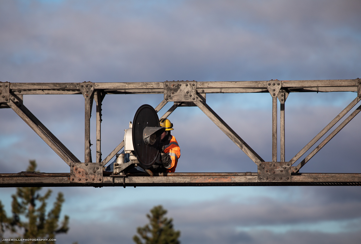
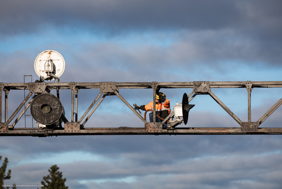
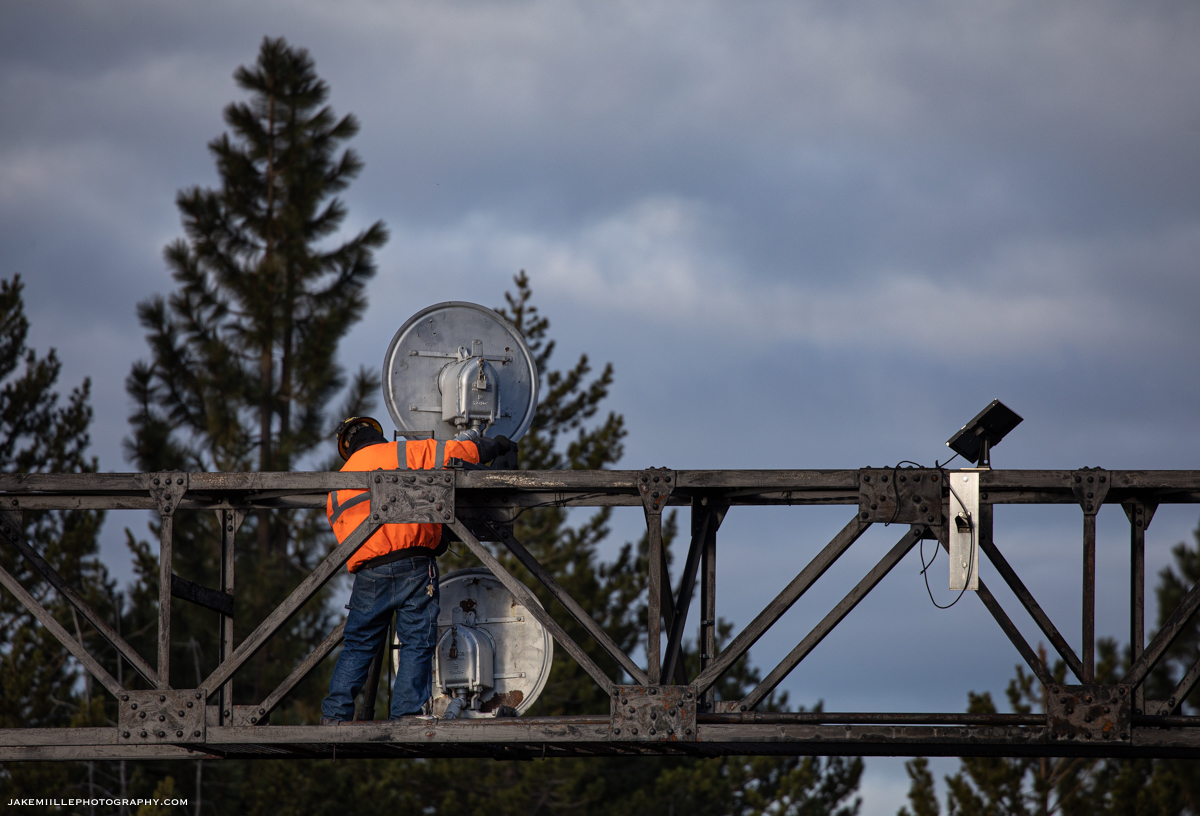
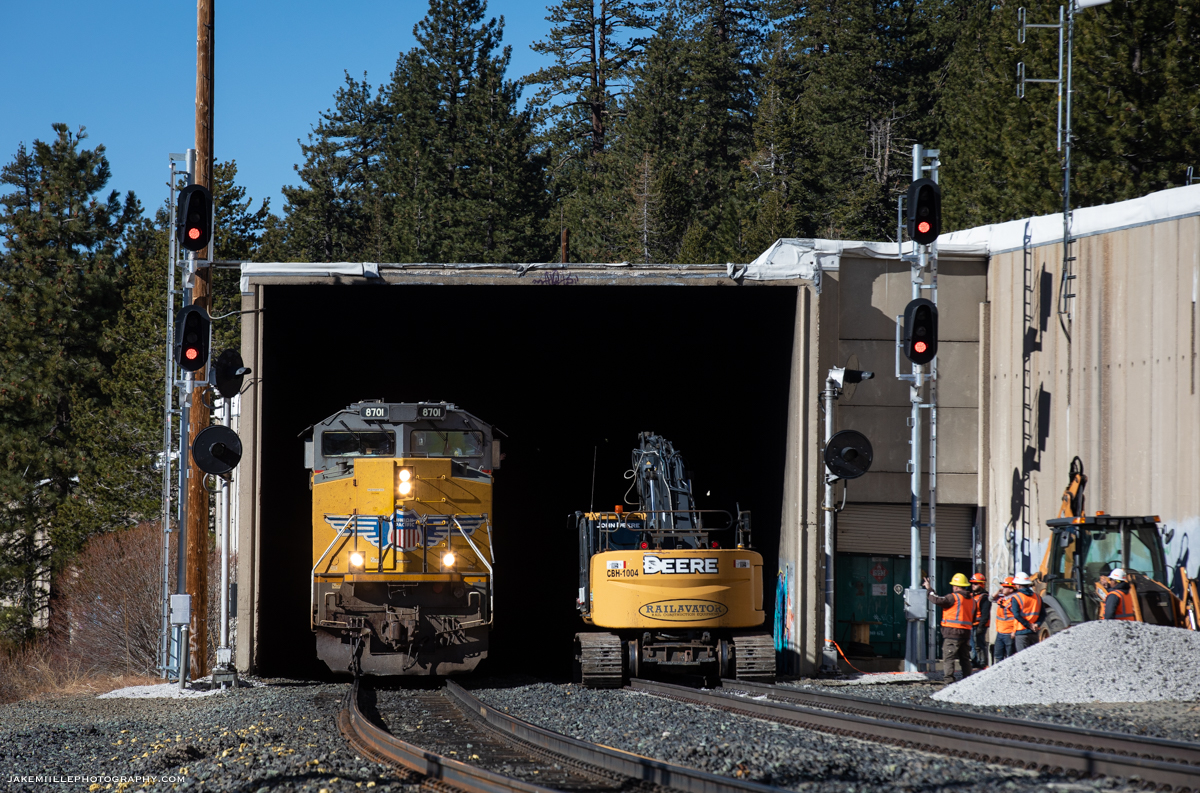
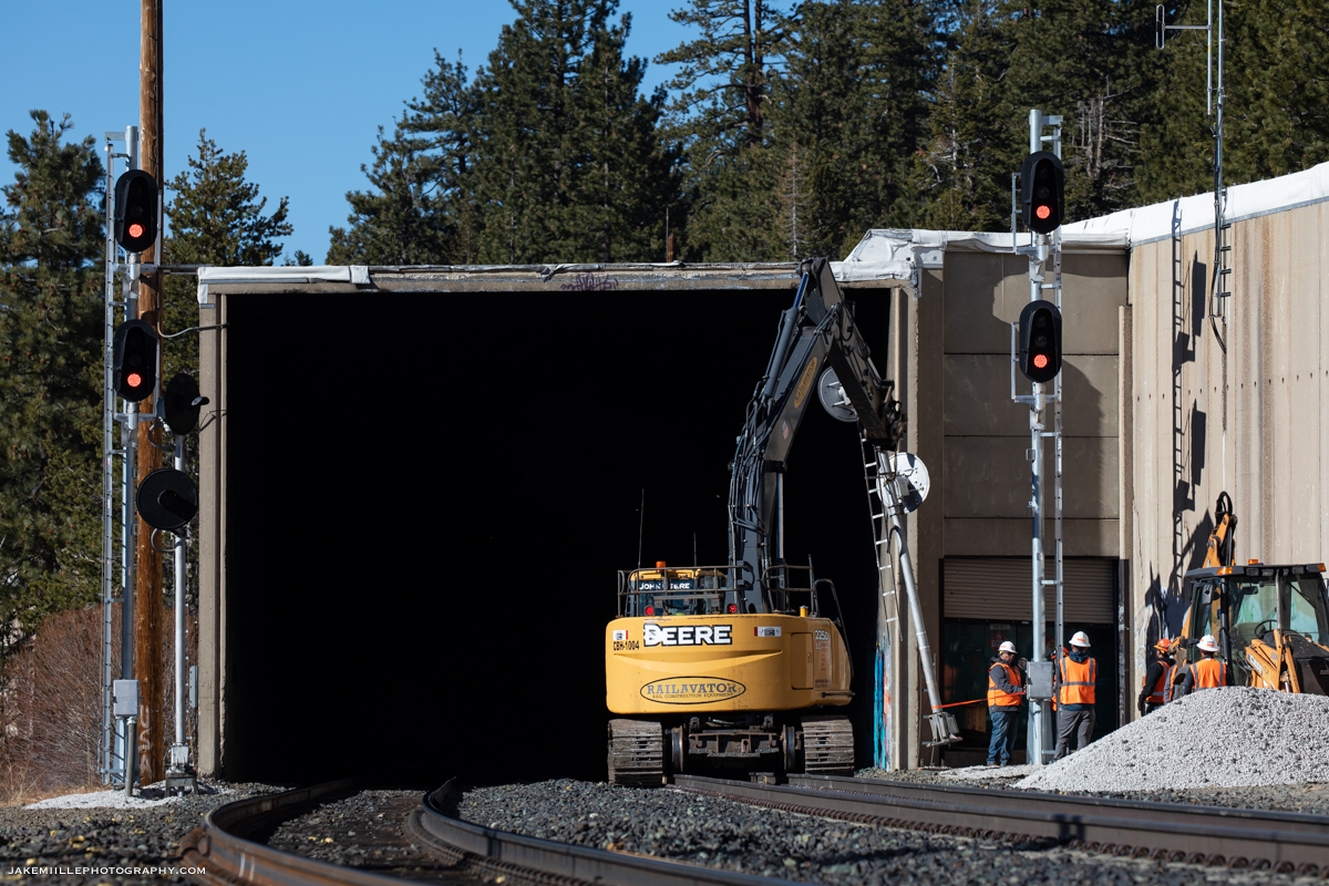
On the morning of November 23rd, 2021, I traveled to Norden to document the signal replacement process. The week prior, signal crews had completed extensive work and were preparing for the “cut over” to the new signals.
The signal foreman requested track & time as crews prepared to physically turn the signals. The process appeared relatively simple from an outsider’s prospective. The new signals were energized and tested while the old signals were de-energized and rotated. I am sure the real complexity of the signal replacement process happens in the signal box, where computers and fuses control the indications.
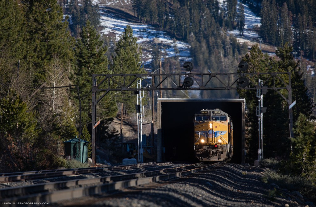
Within a couple of hours, the process was complete and the new signals were in service. Dispatcher 9 impatiently waited for the release of track & time since there was a high priority Z train and Amtrak’s California Zephyr waiting to come west. Once track & time was released, the UP 7834 quickly arrived leading the ZG2LT 21. The UP 7834 became the first train to pass the new signals.
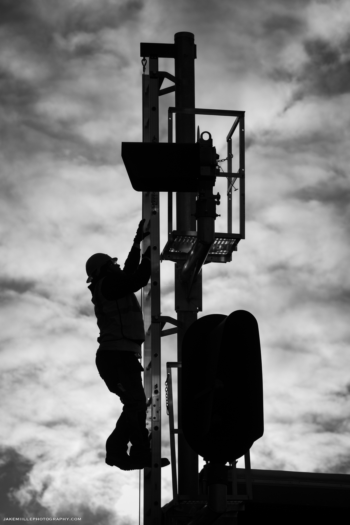
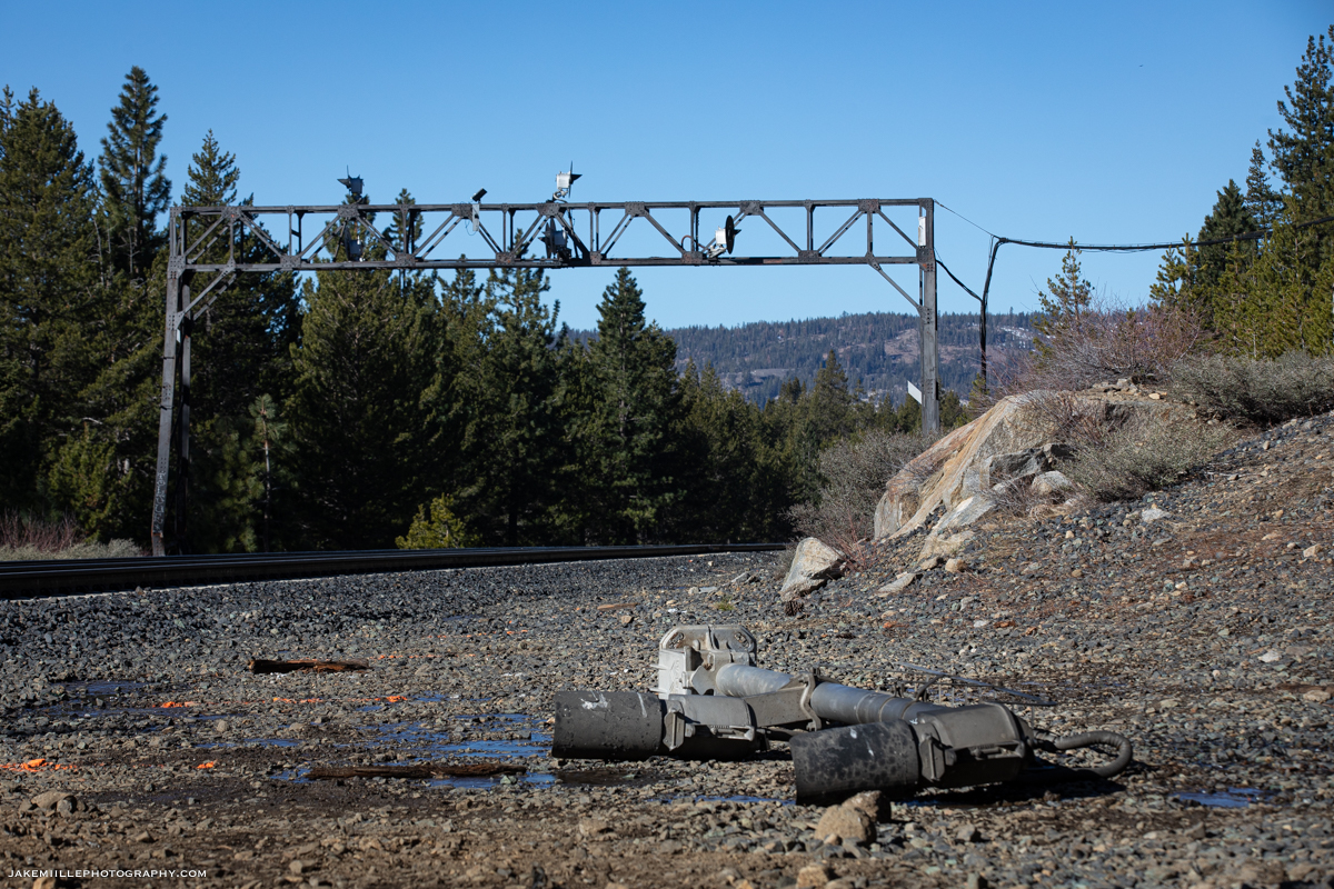
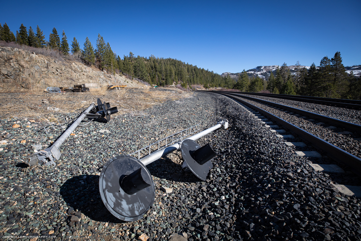
After the signals were cut over, crews began work to remove the signal masts from East Norden. Utilizing some heavy equipment, the crews were able to quickly remove the masts. The signal bridge would be a little more challenging and would be removed during the following week.


The replacement of the Norden Searchlights serves as a good reminder that nothing lasts forever along the railroad. An image you may capture today could hold increasing sentimental value as things change in the future. So get out there and shoot!
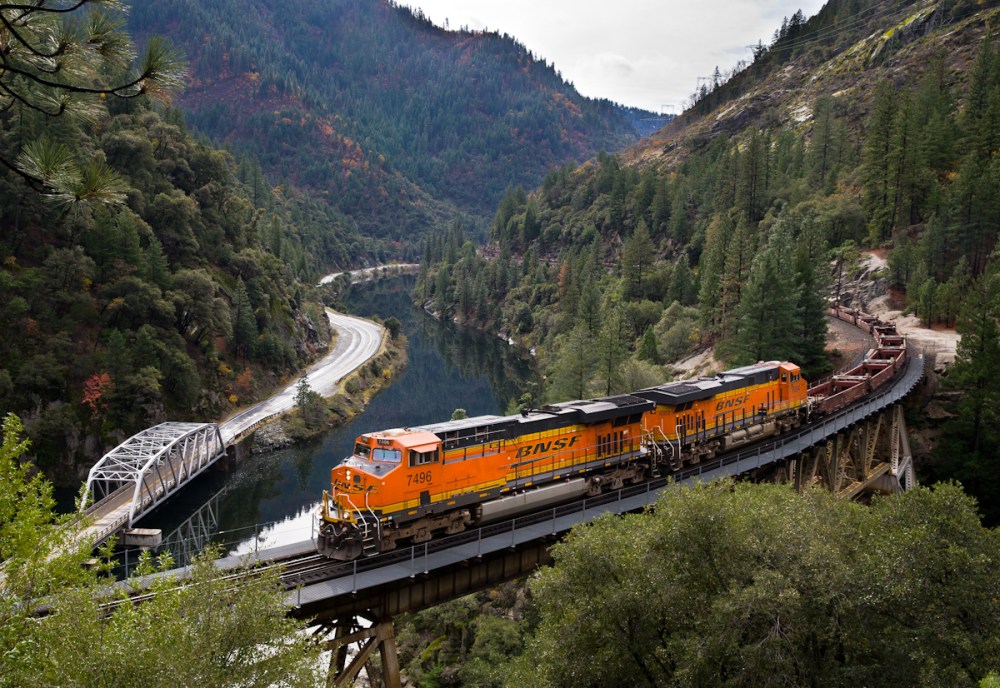
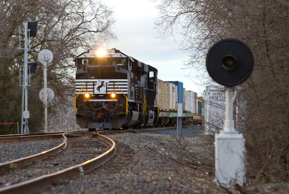
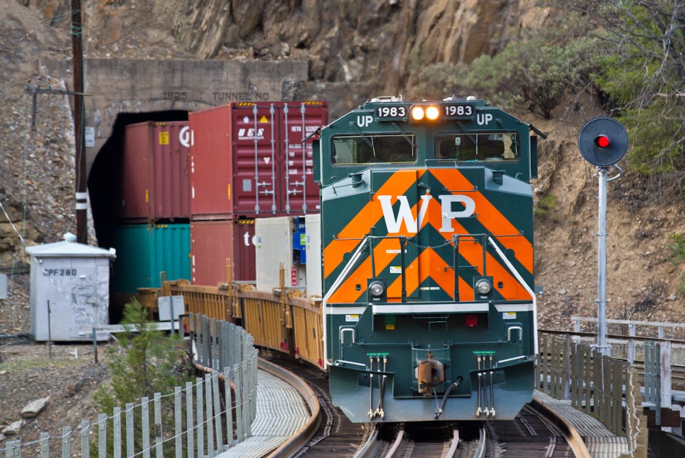
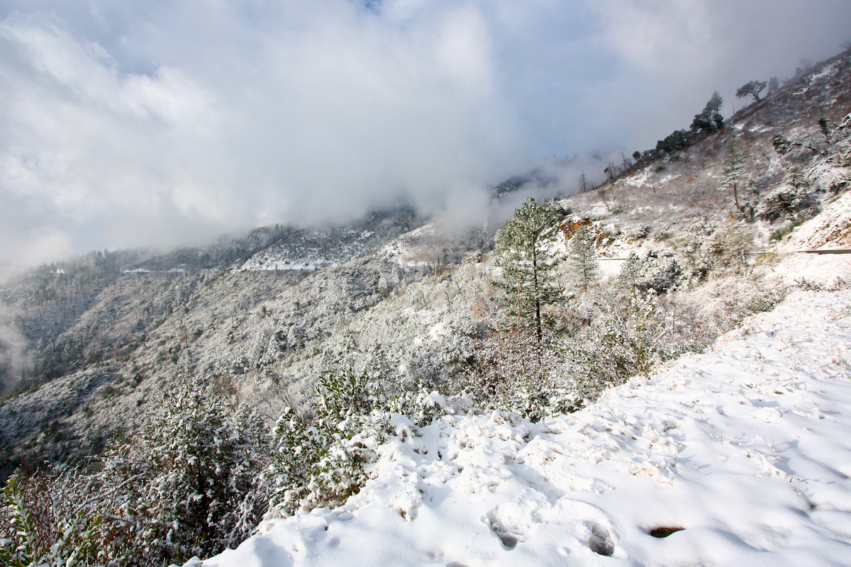
Here are some of my favorite moments from Norden over the years.


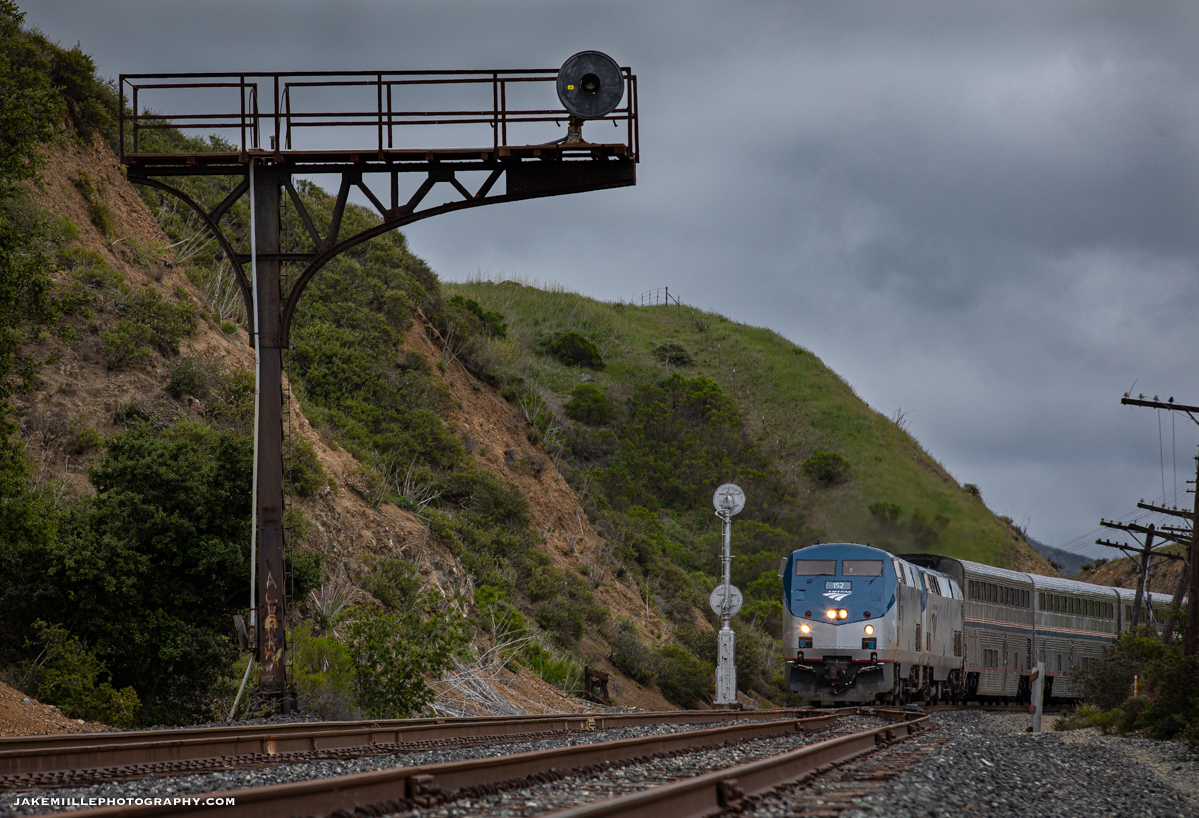
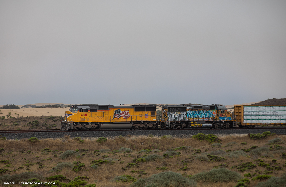
Norden, California 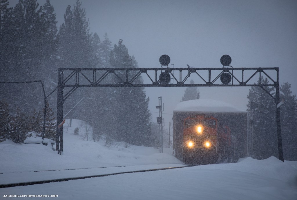
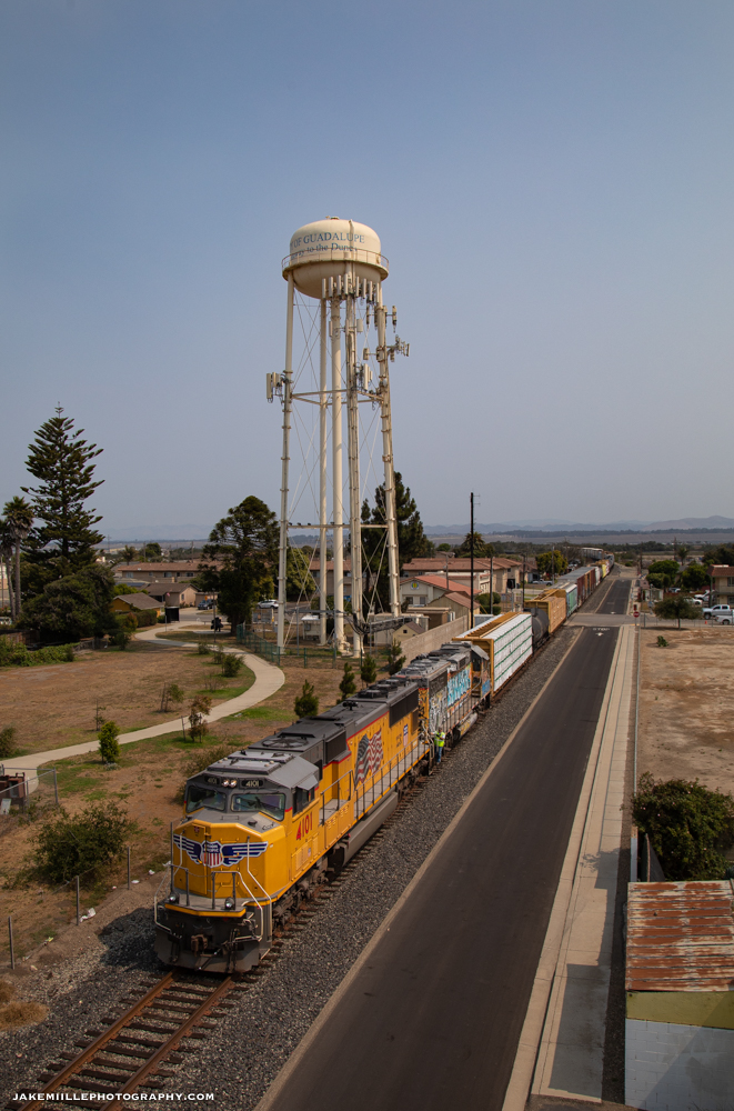
Norden, California 
Norden, California 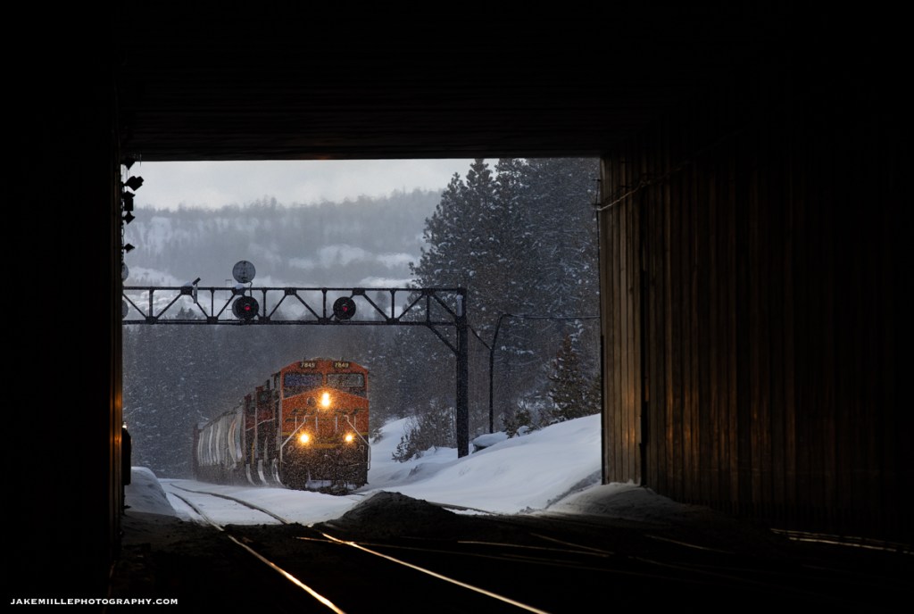
Norden, California 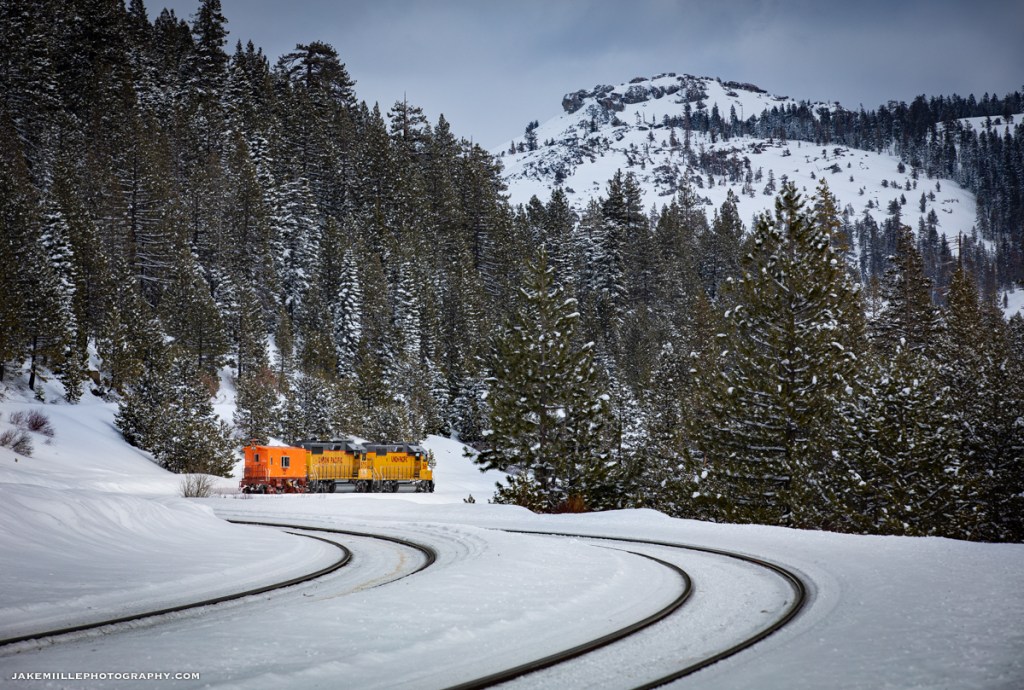
Norden, California 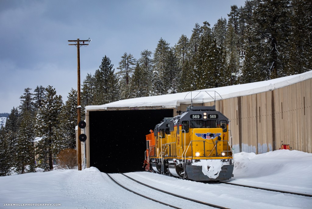
Norden, California 
Norden, California 
Norden, California 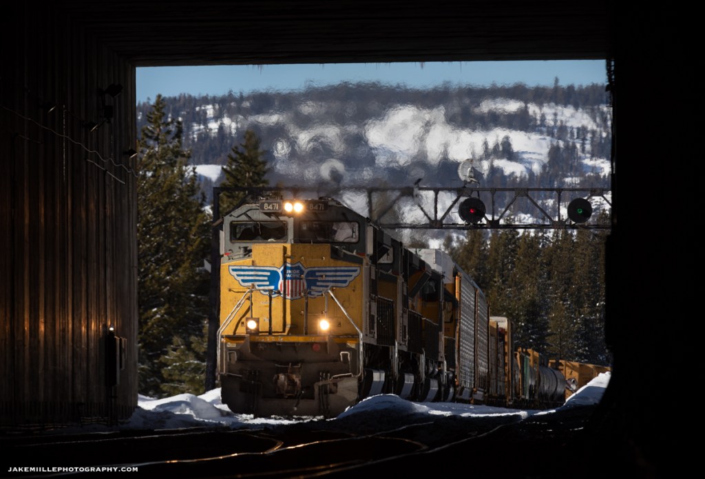
Norden, California 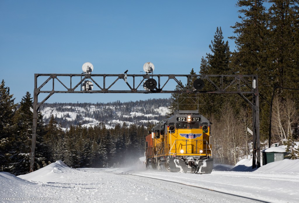
Norden, California 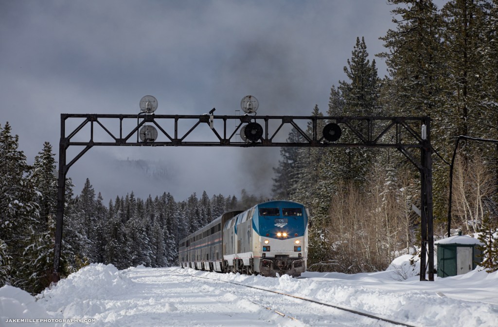
Norden, California 
Norden, California 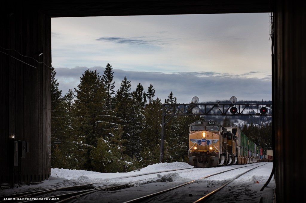
Norden, California 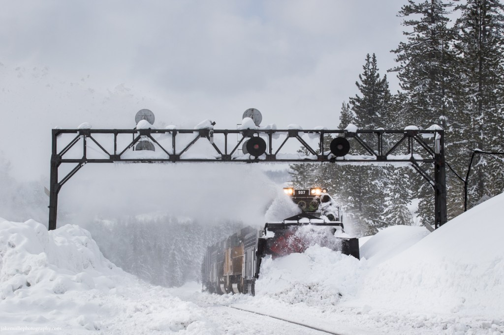
Norden, California 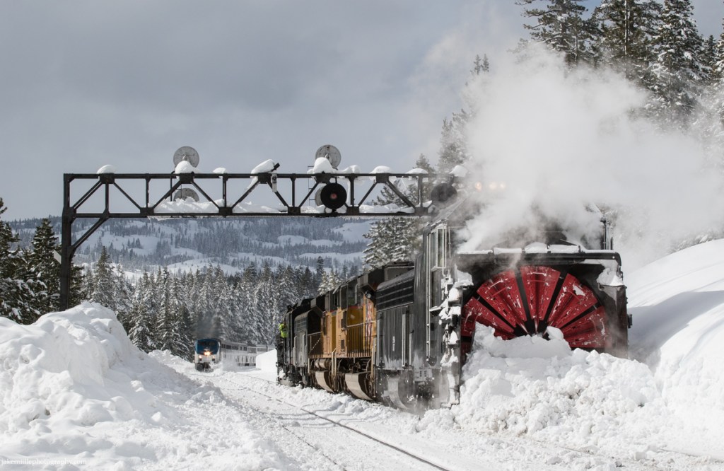
Norden, California 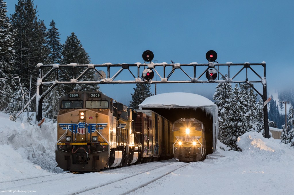
Norden, California 
Norden, California 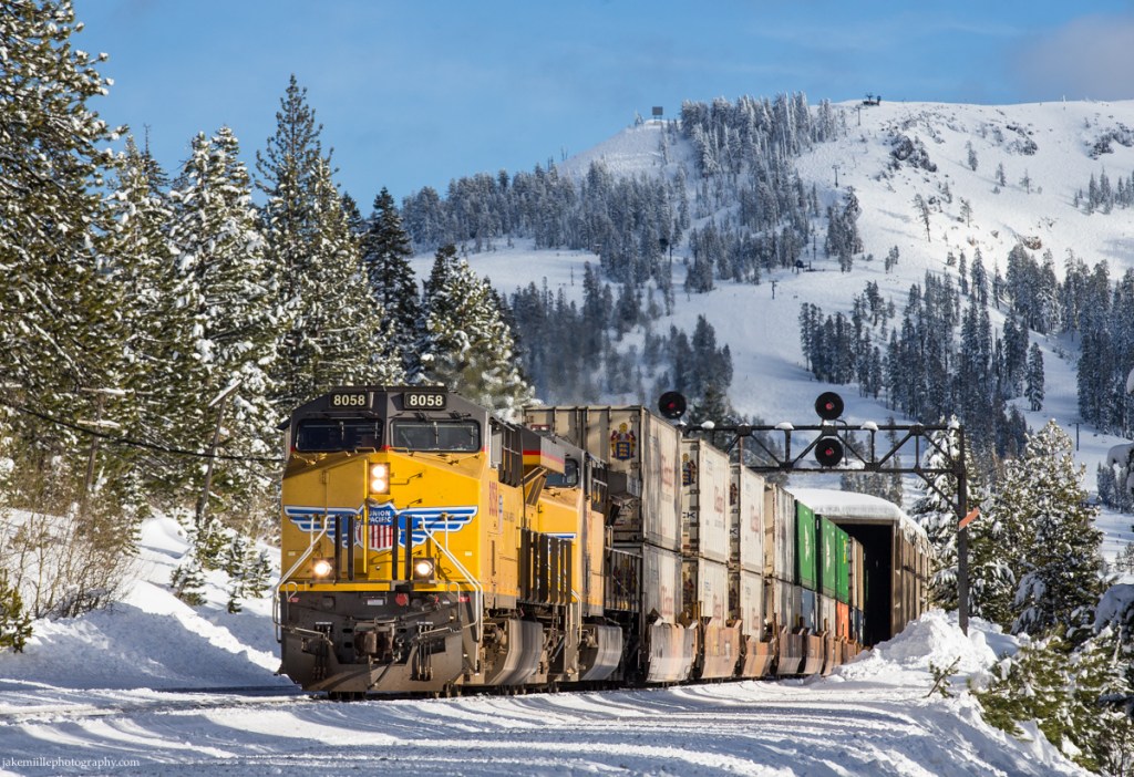
Norden, California
Jake Miille Photography © 2022